
Integrating LiDAR Technology in Traffic and Infrastructure Solutions
July 19, 2026·ITS / Smart Infrastructure·Blickfeld
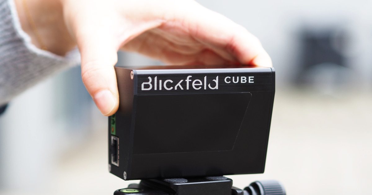
Source image from Blickfeld
Professionals and companies are already growing their network with INConnect.
Source image from Blickfeld
Today, Blickfeld announced insights into the application of LiDAR technology within traffic and infrastructure systems, emphasizing its potential to address contemporary traffic challenges. As urban areas continue to grow, the demand for efficient traffic management solutions becomes increasingly critical. LiDAR, or Light Detection and Ranging, is emerging as a transformative technology in this domain, offering precise distance measurements and detailed environmental mapping.
The integration of LiDAR into traffic systems can significantly enhance the monitoring and management of vehicular flows. By employing high-resolution 3D mapping capabilities, traffic management centers can obtain real-time data on vehicle speeds, congestion levels, and accident hotspots. This data allows for more informed decision-making and the implementation of timely interventions, such as adjusting traffic signals or deploying additional resources to specific areas.
Moreover, LiDAR technology offers advantages in infrastructure planning and maintenance. By continuously scanning roadways and surrounding environments, municipalities can identify wear and tear, assess road conditions, and prioritize maintenance tasks. This proactive approach not only extends the lifespan of infrastructure but also ensures safer travel conditions for all road users.
Blickfeld highlights several innovative applications of LiDAR in urban environments. One notable use case is the deployment of LiDAR-equipped sensors in smart traffic lights, enabling them to adapt to real-time traffic conditions. This dynamic adjustment reduces wait times, improves traffic flow, and minimizes emissions, aligning with sustainable urban development goals.
In addition to traffic management, LiDAR is also being utilized in the design and implementation of intelligent transportation systems (ITS). These systems leverage data collected from LiDAR to facilitate vehicle-to-infrastructure (V2I) communication, enhancing the overall efficiency of transportation networks. For instance, vehicles can receive real-time information about road conditions, potential hazards, and optimal routes, ultimately improving safety and reducing travel times.
Blickfeld emphasizes the importance of collaboration between technology providers, urban planners, and government agencies to maximize the benefits of LiDAR integration. By sharing data and insights, stakeholders can develop comprehensive strategies that address the multifaceted challenges of modern traffic systems.
Furthermore, the scalability of LiDAR solutions allows for their application in various contexts, from small towns to large metropolitan areas. As cities increasingly adopt smart infrastructure initiatives, the role of LiDAR will likely expand, paving the way for more connected and efficient urban environments.
In conclusion, the integration of LiDAR technology in traffic and infrastructure is poised to revolutionize how cities manage transportation challenges. By providing accurate, real-time data, LiDAR enhances decision-making processes and promotes safer, more efficient travel. Blickfeld's insights underscore the critical need for continued innovation and collaboration in this space, as urban areas strive to create smarter, more sustainable infrastructure solutions.
The integration of LiDAR technology in traffic management and infrastructure represents a significant advancement in creating smarter urban environments. As cities face increasing traffic demands, leveraging accurate data from LiDAR can lead to improved safety and efficiency in transportation systems.
Original source attribution: Blickfeld
Read Original SourceDaily email digest
Get each new LiDAR Daily article in your inbox.
More LiDAR Daily
August 28, 2026
Hesai's latest LiDAR technology is set to revolutionize Advanced Driver-Assistance Systems (ADAS) with superior object detection capabilities and safety features for vehicles.
August 19, 2026
Hesai's Q2 2026 financial results showcase a significant revenue increase, primarily attributed to a surge in LiDAR shipments and partnerships with major automotive manufacturers.
August 9, 2026
AEye, Inc. announces participation in the upcoming J.P. Morgan Auto Conference, highlighting its advancements in software-defined lidar solutions.